Amenities
Community Services and Amenities in Marie Reine
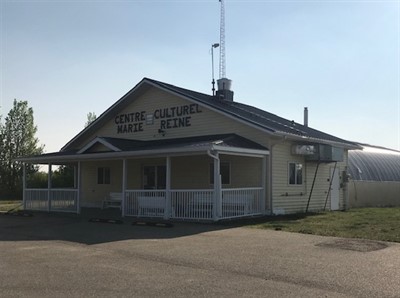
Marie Reine Cultural Centre
Phone: 780-618-1476
Family and Community Support Services
Phone: 780-322-3954
Transfer Station
Location: PT NW-36-81-22W5M
Phone: 780-624-4182
Cemeteries
Marie Reine Cemetery
Judah Cemetery
Recreation and Outdoor Attractions
Marie Reine Cultural Centre Playground and Baseball DiamondMarie Reine Gazebo
Marie Reine Sports Court
Marie Reine Walking Trail
Murphy’s Flats Day Use Area
Sagitawa Lookout
Utilities and Service Providers
ATCO ElectricATCO Gas
Bell Mobility
Direct Energy
East Peace Gas Co-op
IWantWireless
Just Energy
Northern Sunrise County (water and sewer services)
Starlink Internet
Telus Internet, Phone & TV


