About Northern Sunrise County
Balancing Nature and Economic Growth
The Peace River Country of north central Alberta was first described to Europeans in the journal of explorer Alexander Mackenzie. In 1792, Mackenzie, en route to the Pacific Ocean, was led along the Peace River by First Nations guides. Mackenzie never journeyed inland on his excursion down the Peace River, but he offered this description of what he saw, of what is now Northern Sunrise County: “The east side of the river consists of a range of high land covered with the white spruce and the soft birch, while the banks abound with the alder and the willow.”
The history of the County reflects that of the rest of the Peace River Country, but simply by virtue of its physical attributes, this history reflects the innate challenges of life on the margin.
The fur trade brought the initial contact between the local First Nations people and the incoming Europeans. It ushered in a new economy to the region and demonstrated to the newcomers that permanent settlement was possible. The area that is now Northern Sunrise County was first affected by the trade when traders set up their posts at the confluence of the Smoky, Heart, and Peace Rivers, where the Town of Peace River is today.
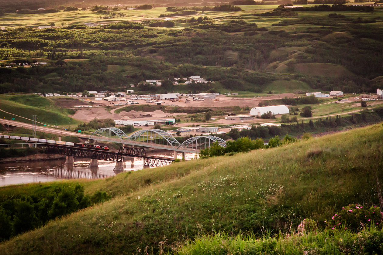
Northern Sunrise County has been witness to key developments of the transportation network in the Peace River Country. Canoes and steamships once exported furs along the Peace River, the western boundary of the County. Men freighting goods and optimistic settlers traversed the expanse of wilderness between Lesser Slave Lake and the Peace River on the Grouard Trail. The railway ensured the development of some of the County’s communities on the Central Canada Railway line into Peace River.
The potential of the Peace River Country was finally tested, and even fulfilled, by the arrival of 6,300 newcomers between 1908 and 1916, with most settlement occurring south of the river.
Many surpassed these limits in the Peace River country, lured by reports of latent wealth of the area. These reports painted a picture of a land just waiting for resourceful, hardworking men and women. And these people came, often to homesteads that they had never seen, and knew little about. They carved a community in isolation out of the last true frontier environment in North America, and their legacy is firmly entrenched in the character of the Peace River Country.
Our Regional Economy
Northern Sunrise County is abundant with oil and gas, forestry, agriculture and tourism. It encompasses a vast area of 21,000 square kilometers of unspoiled wilderness and agricultural land, including small hamlets and villages, providing endless adventure and economic potential. In addition, the thriving town of Peace River is nearby offering all the necessary amenities for modern living.